By Carles Prats.
Very few times stamps of the Spanish civil war contain pictures in their designs, but this is what exactly happened with the first series of Vinebre locals (Allepuz 1-16). The set contains a central image depicting the Ebre river:

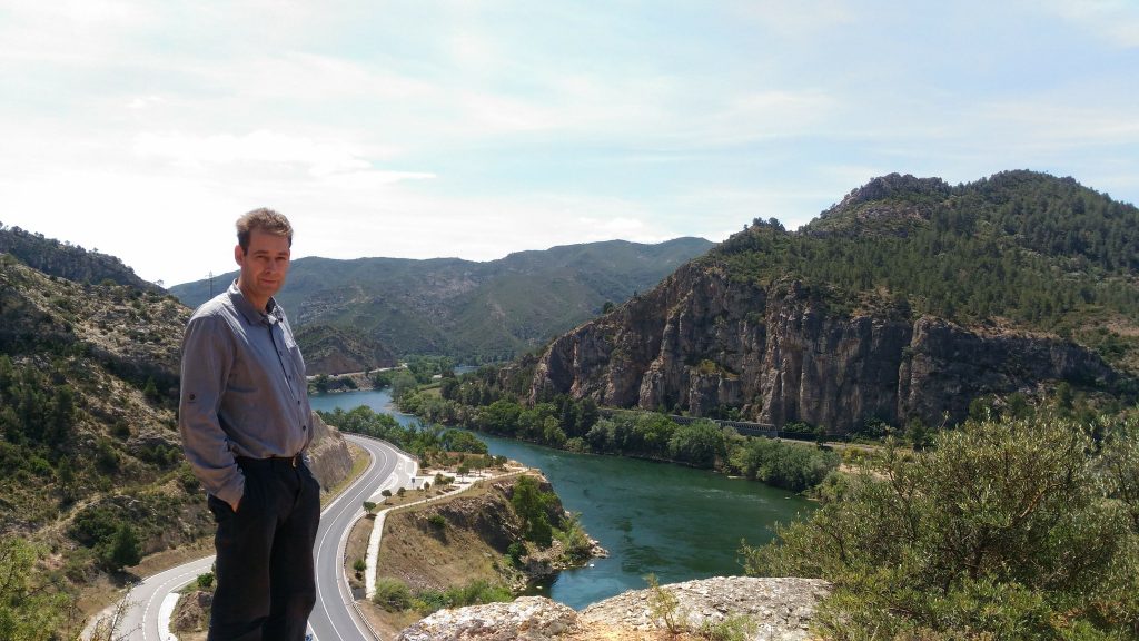
The picture shows the river going through a canyon known as “Pas de l’Ase”. I live 15 miles away from this river, so I decided to see if I could locate the exact point from where the picture shown on the stamps was taken. And here is the result:

Nowadays the landscape is slightly different: a road goes through the mountain on the left side of the river, trees are a little bit taller on the top of the rocky hill, but the general skyline is the same than then.
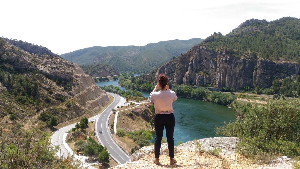
The photographer placed his camera on this exact point to take the picture illustrating the Vinebre locals:
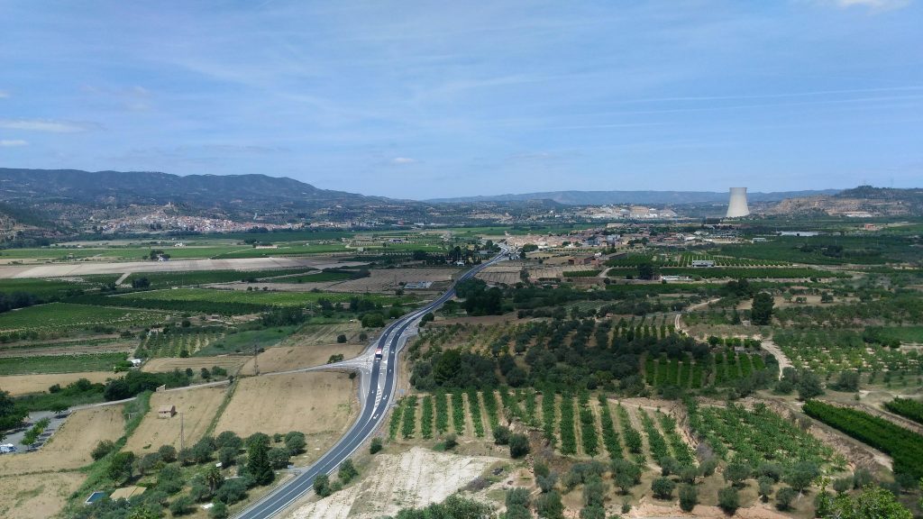
This point is accessible from the road going from Vinebre to Móra d’Ebre. There is a path going uphill, to St. Miquel hermitage, and at the crossing of another path going to a nearby archaeological site there is a rocky platoon that offers a perfect platform to take shots of the landscape.
Going up to the hill the visitor reaches, a few meters far, an ancient Iberic town from 2nd-1st Centuries BC, now fully excavated:

The views from this archaeological site are excellent, and it is easy to understand why its ancient inhabitants decided to build their homes at the top of this hill: